Docmarv's Weather Website
for Kalama, Washington
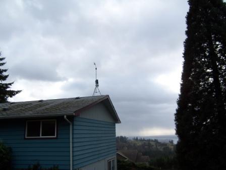
Using a Davis Vantage pro II WEATHER STATION 6153
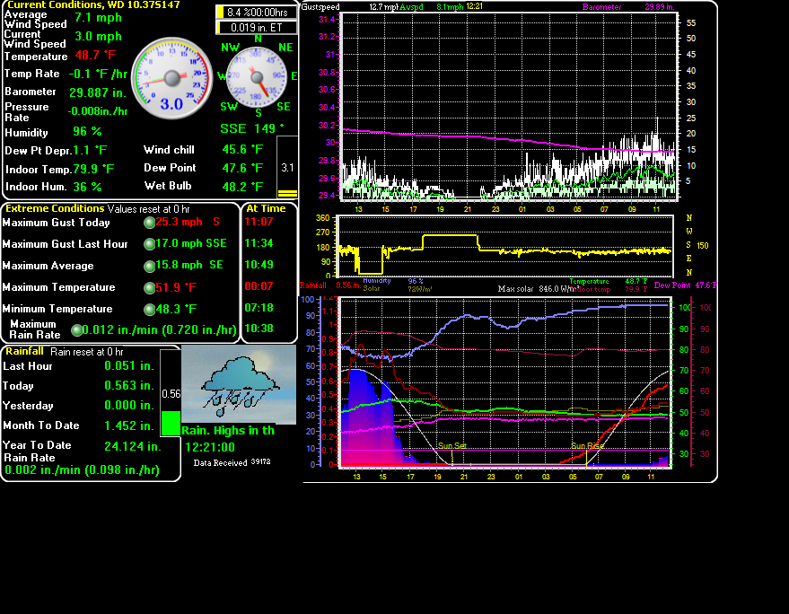
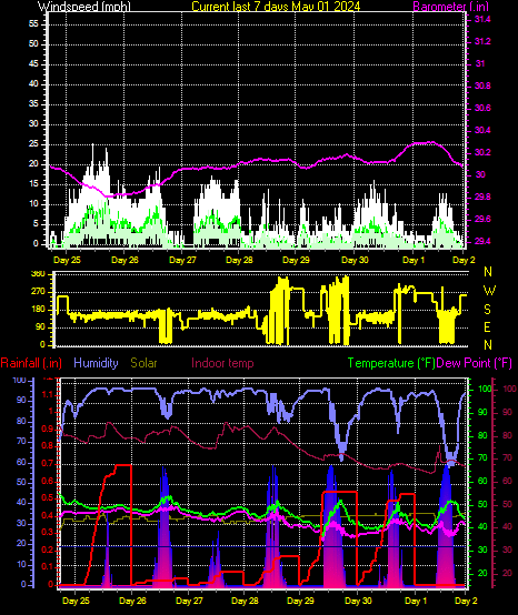
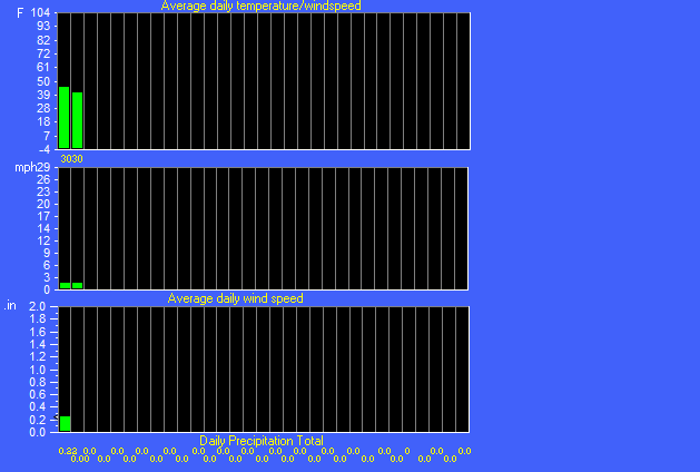
Temperature
Humidity
Pressure
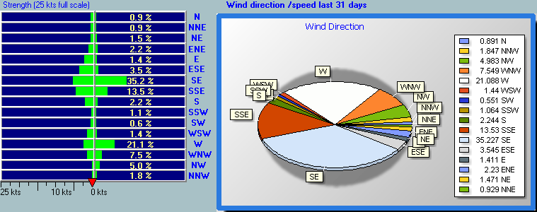
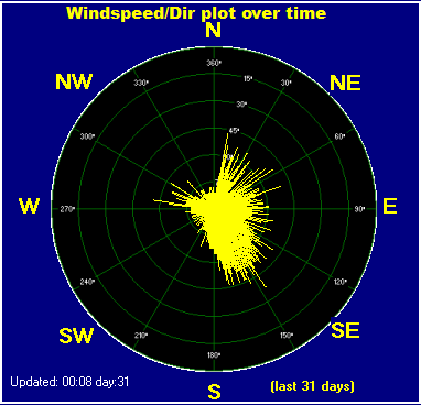
Wind
Davis Pro Battery Status
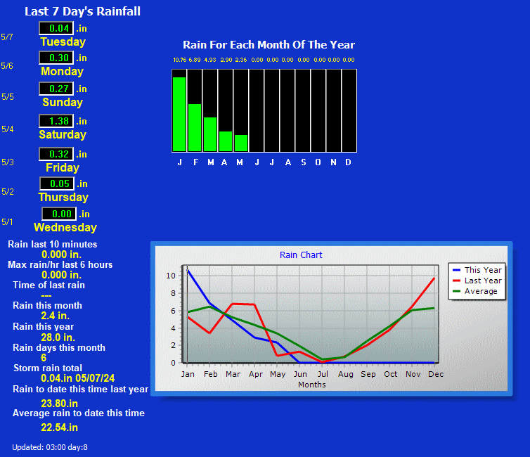
Rain:
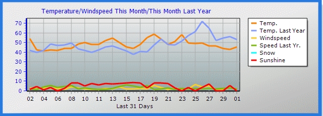
Detailed Data for Current Month:
Detailed Data for Current Month
Average Temperature Data Records:
Weather Data Records:
Water Year Graphs:
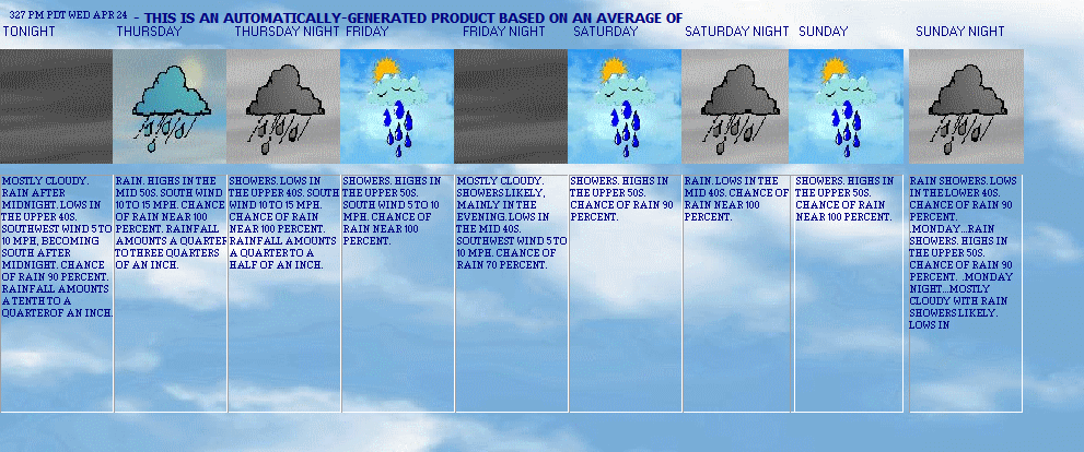
Navy Forecast models:
Ship Traffic Columbia River:
Ship Traffic East Caribbean:
Detail weather data:
Daily_Month_detail:
rev 7-23-2024 07:28Validation
This page is XHTML 1.0 compliant. Validate the XHTML and CSS of this page.
Sun
Moon

Links
*Live Steel Guage docmarvweather*
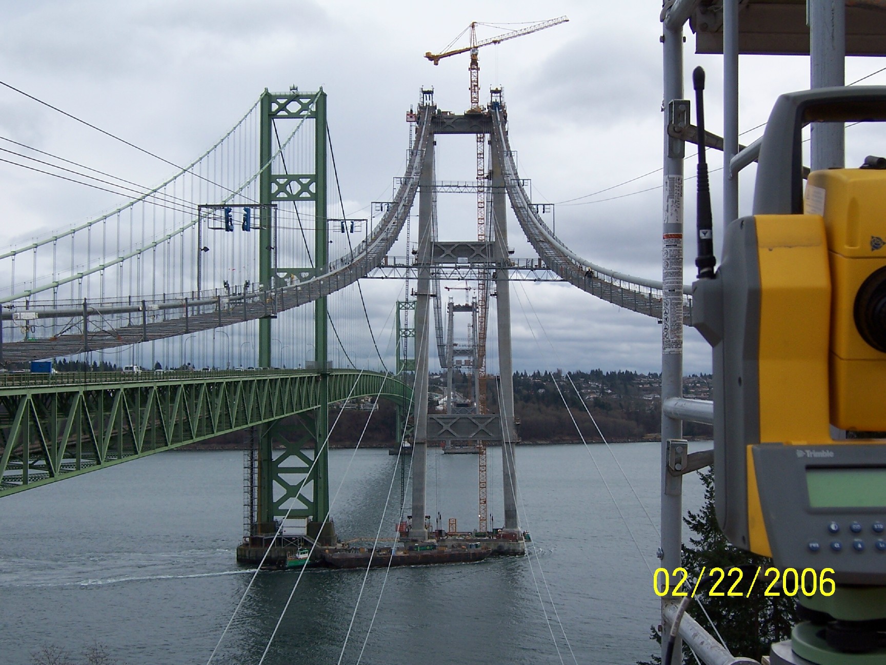
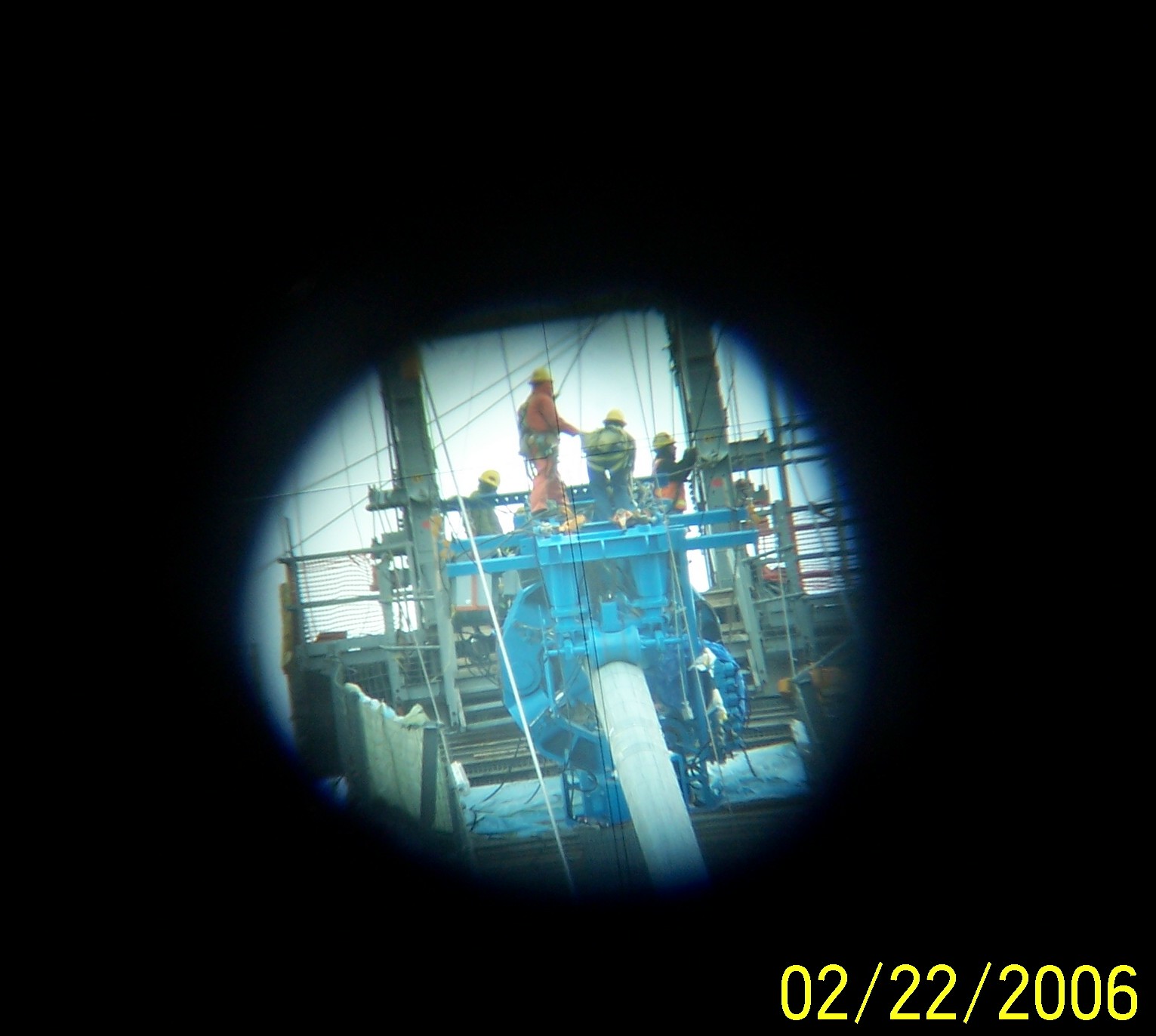
The latest update Tacoma Narrows bridge construction
TIDE TABLE AT mouth Lewis River Washington
OREGON DEPARTMENT FISH AND GAME
*(new) My Kalama Washington Forecast
Mountain pass Skiing and Snow Boarding Packwood White Pass Note This paper has been retired


| Point Forecast: KALAMA WA
DOCMARVWEATHER 45.98N 122.81W (Elev. 420 ft) |
Last Update: |
|
|
|
| [dashes/dots] | [b/w] | [hide menu] | ||||||
|
||||||
|
||||||
|
||||||
|
|
Copyright © 2005, Docmarv's Weather Web-site |
Weather Display v
10.37S Build 147 |
Site template by
CarterLake.org and Haran
Never base important decisions on this or any weather information obtained from
the Internet.
This is a Summary of the weather data at my Weather Station 2 miles above I-5 at exit 27
|
|


